
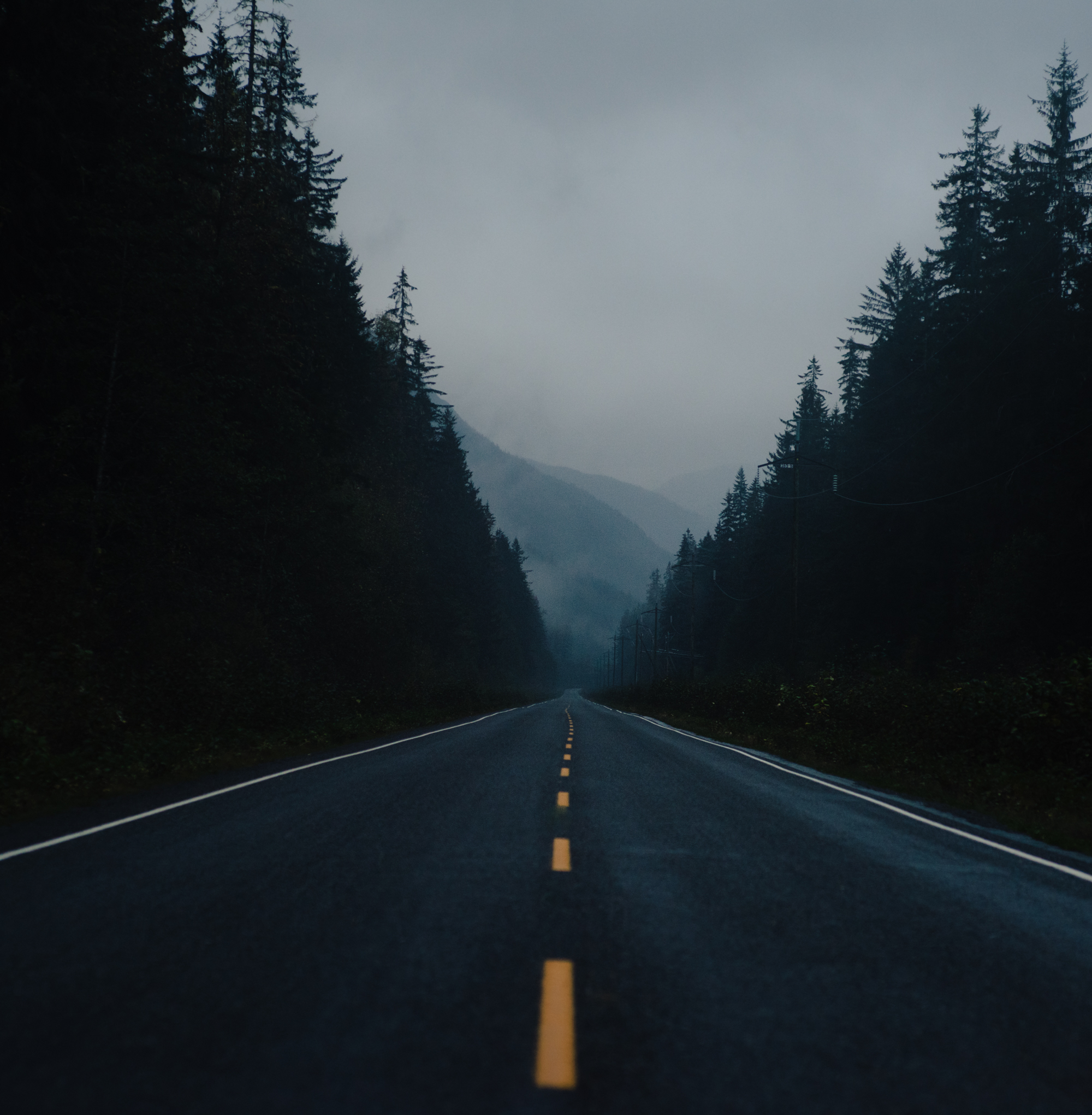


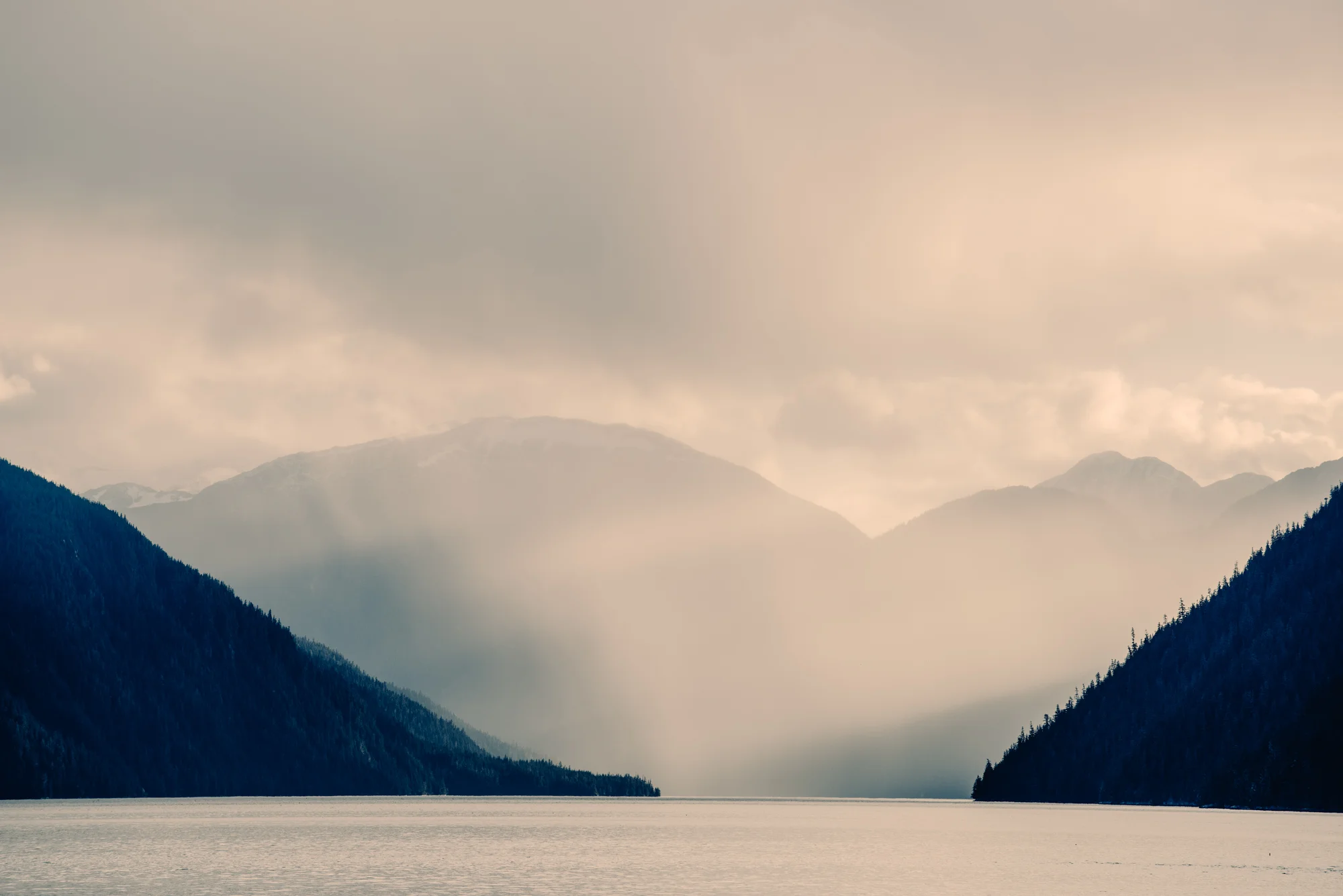


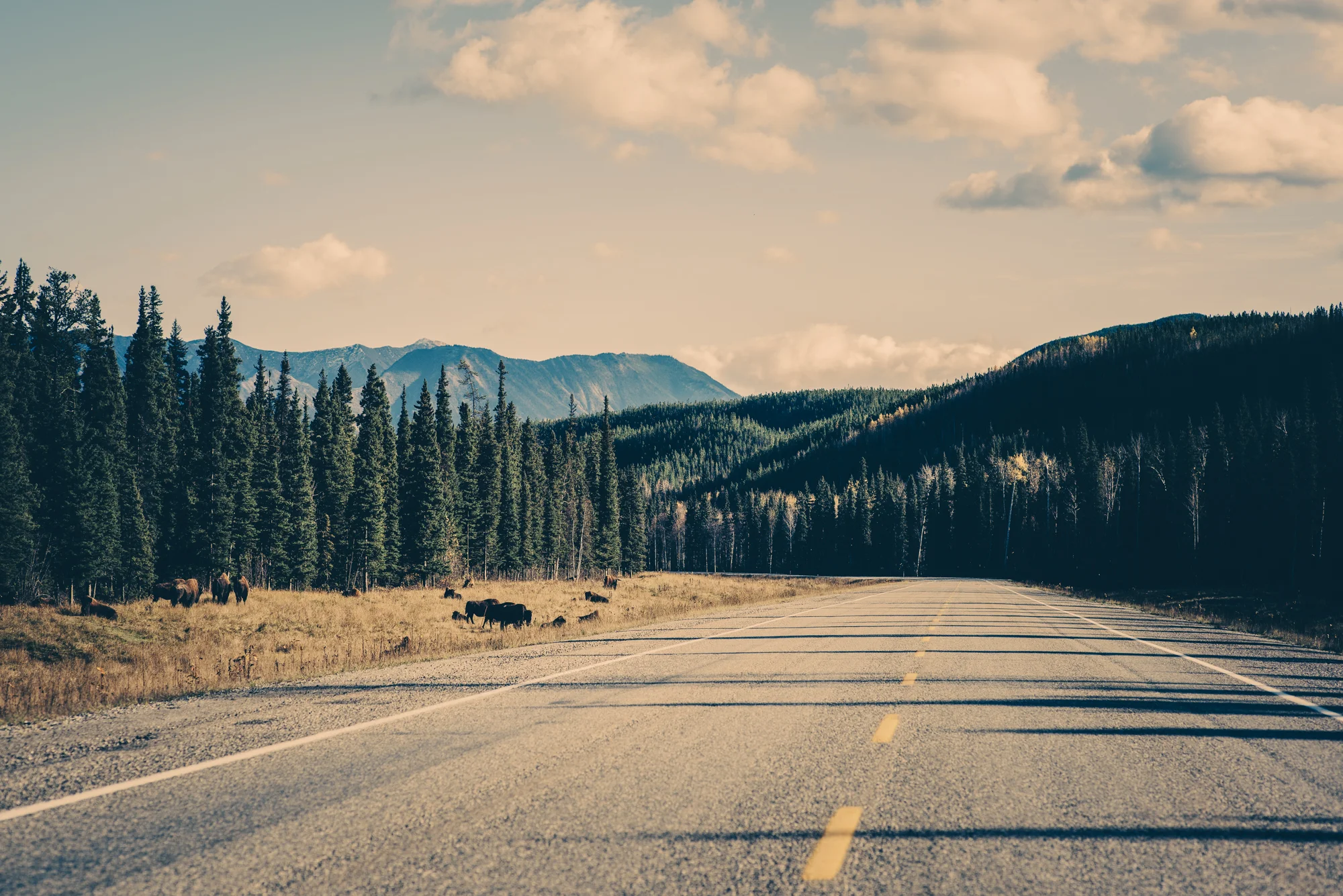


Northern British Columbia contains some of the most epic yet seldom explored terrain in all of Canada; a superlative landscape of wild rivers, vast canyons, colossal glaciers, pristine lakes, and towering peaks. It's home to grizzly bears, stone sheep, caribou, wolves, goats, and five species of salmon, as well as the birthplace of three ecologically-important rivers, the Skeena, Nass and Stikine. Historically it's the home of the Tahltan first peoples, who referred to the area as 'Klabona', or "headwaters." More recently it's been referred to as the Sacred Headwaters by conservationists fighting to save the area from increasingly destructive mining and resource exploitation.
This set of photography documents a journey taken through Northern British Columbia and the southern Yukon in Autumn 2014. It was originally published in a collaboration with the legendary Filson brand. I've included some of the words of that story amongst the images presented here.
"Even in the mind of the most sophisticated urbanite, Canada is first of all a country of great unfilled spaces, of limitless horizons. Our perceptions emerge from our contact with this space, this thing, this gigantic problem, which is at once the mother of our energies and the source of our anxieties. Canadians are now, by choice as well as economic necessity, increasingly urban people. Yet all of us know that just out there, just beyond the furthest suburb, the country opens up and goes on forever."
– Robert Fulford, Canadian author, journalist and essayist (1932–)
Prior to the arrival of Europeans, the Salmon River and Portland Canal were the hunting and fishing grounds of the Nass Indians. The Nass River Indians knew the head of the Portland Canal as Skam-A-Kounst, meaning safe place. It is said that the canal and area were used to retreat from the harassment of the coastal Hiadas, a tribe recognized as one of the more aggressive and intelligent along British Columbia's coast and primarily based in the Queen Charlotte Islands, the archipelago now called Haida Gwaii.
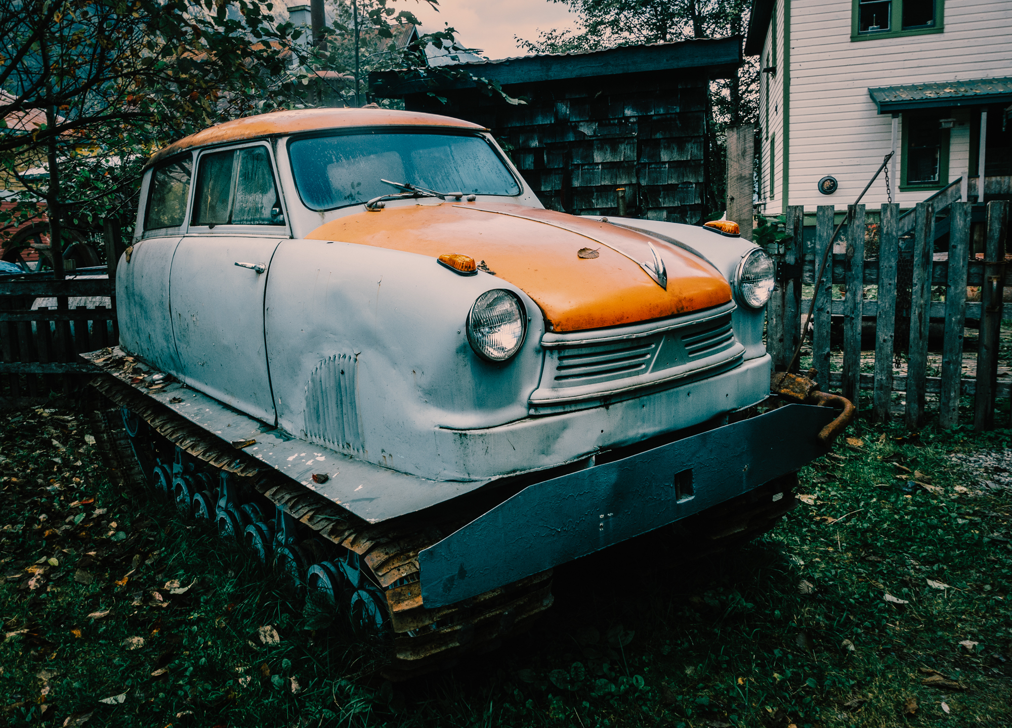
As I’ve come to understand it, the backstory on Hyder and Stewart is one of boom and bust. Both towns, one American, the other Canadian, were part of a 1920's gold and silver rush that employed over 10,000 people at its peak. From 1920 until it’s closure in 1952 the Canadian-owned Premier Mine was actually the largest gold mine in North America. Time and the mining industry haven’t boded well for either town however, and today less than 500 people live in Stewart, and a little under 90 in Hyder.
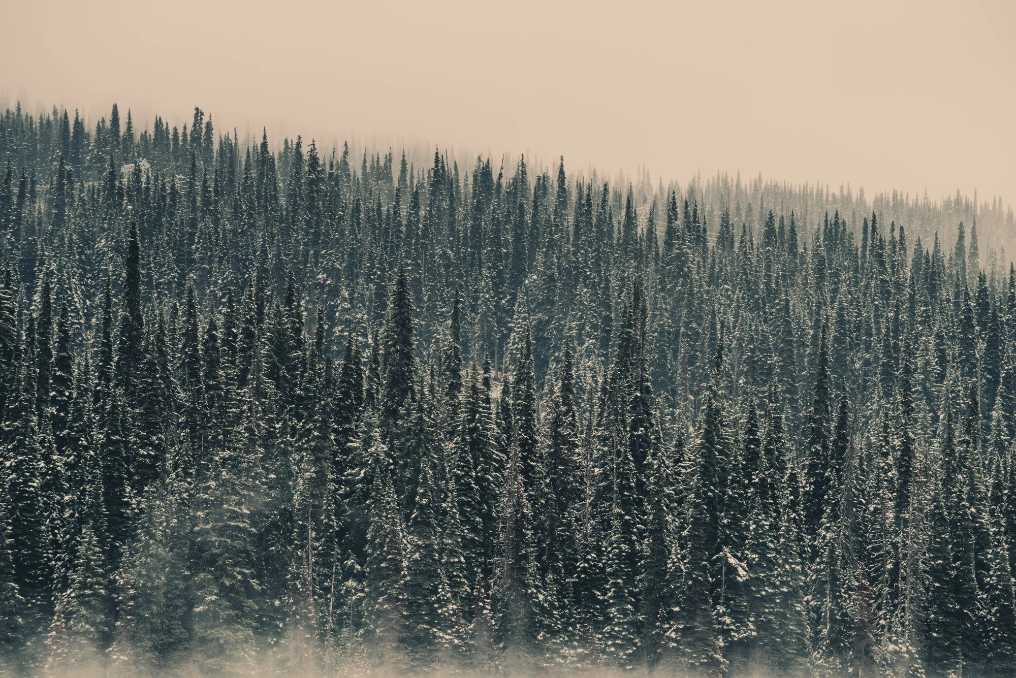
A few hours into the day, I stop at Kinanskan Lake Provincial Park for short rest. Walking to the end of a snow-covered dock, I look down. The water is crystal-clear. There are sizeable rock formations on the lake bottom, and what seems like a drop-off and possible fishing hole. Fetching a casting rod from the car, I briefly try my hand at perhaps catching dinner. Luck is on my side, as I land a hard-fighting, pan-sized rainbow with a spoon on about my 5th cast. I gut and clean the fish on the dock, pack it away in some snow, then get back on the road.